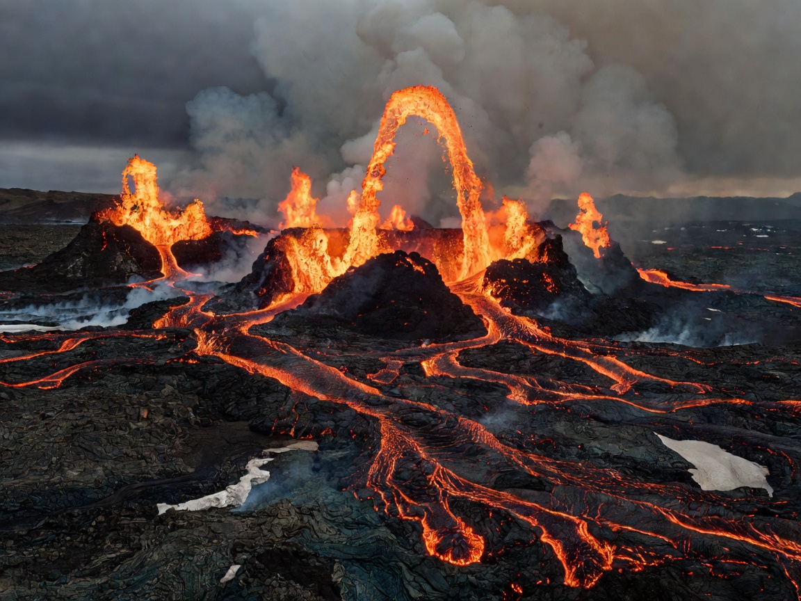
 Volcanology
Fagradalsfjall & Sundhnúkur Volcanic Trail Guide
Comprehensive topography, SO2 gas toxic perimeter analysis, parking access paths, and current trail safety regulations for the active fissure zones.
Read Volcanic Dossier →Real-time volcanic eruptive monitoring, verified F-road river crossing telemetry, sub-Arctic meteorological data, and first-hand expedition logs written by field cartographers.
Volcanology
Comprehensive topography, SO2 gas toxic perimeter analysis, parking access paths, and current trail safety regulations for the active fissure zones.
Read Volcanic Dossier →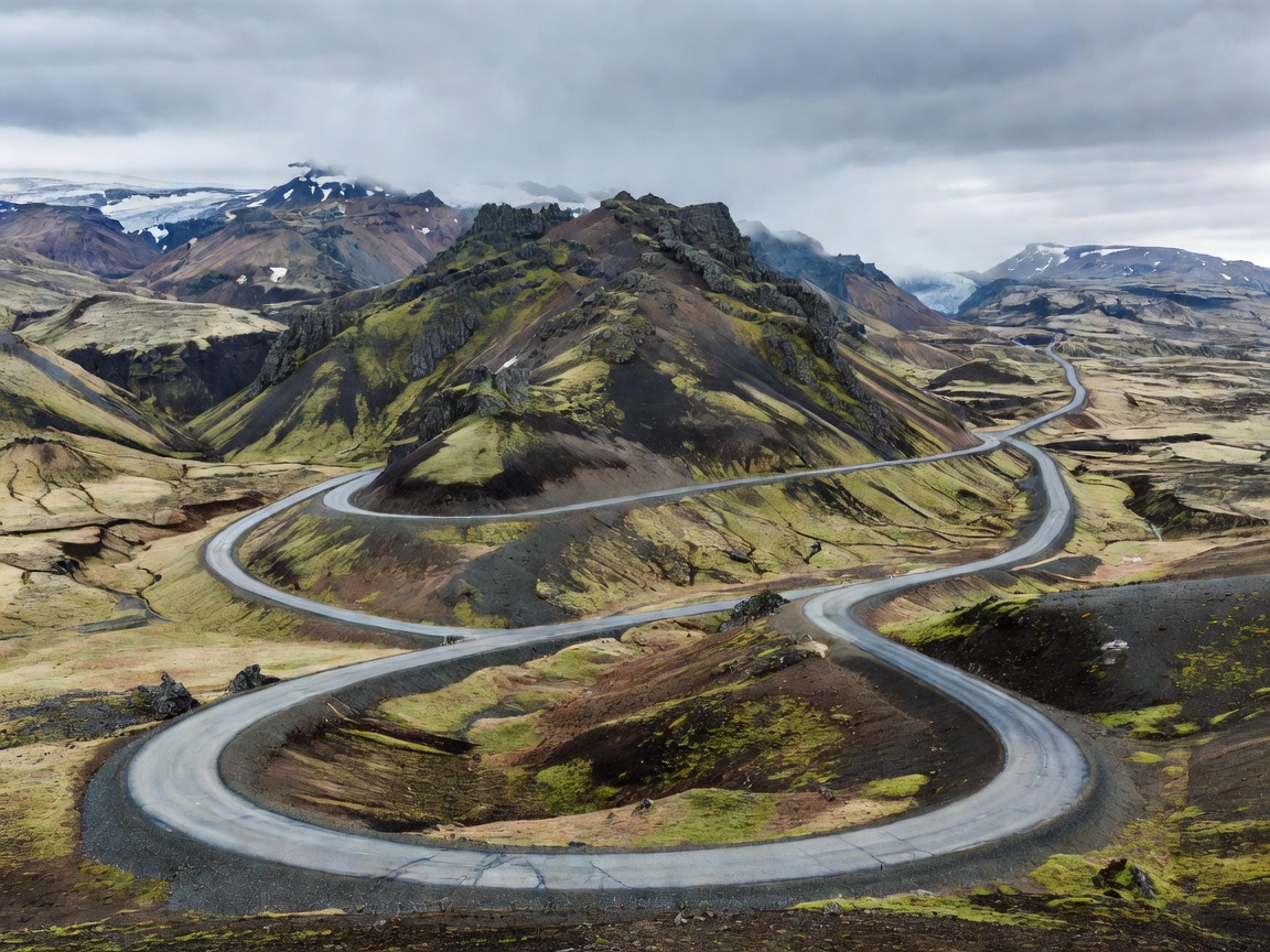 Itinerary
Mile-by-mile logistical guide spanning the black sands of Vík, the calving glaciers of Jökulsárlón, Eastfjords, and northern geothermal cauldrons.
Read Circuit Guide →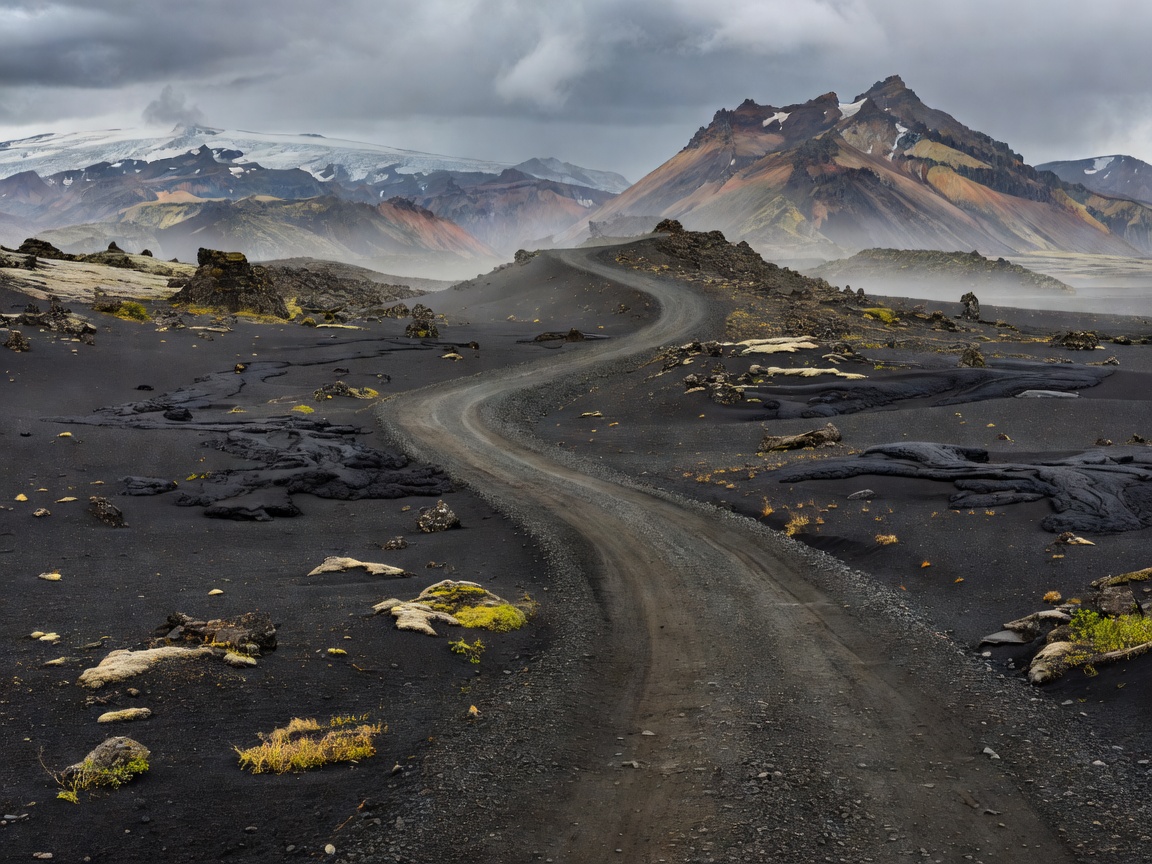 Highland 4x4
Snorkel depths, current speeds on F208 and F26, unbridged glacial river crossings, and Landmannalaugar rhyolite mountain logistics.
Read F-Road Manual →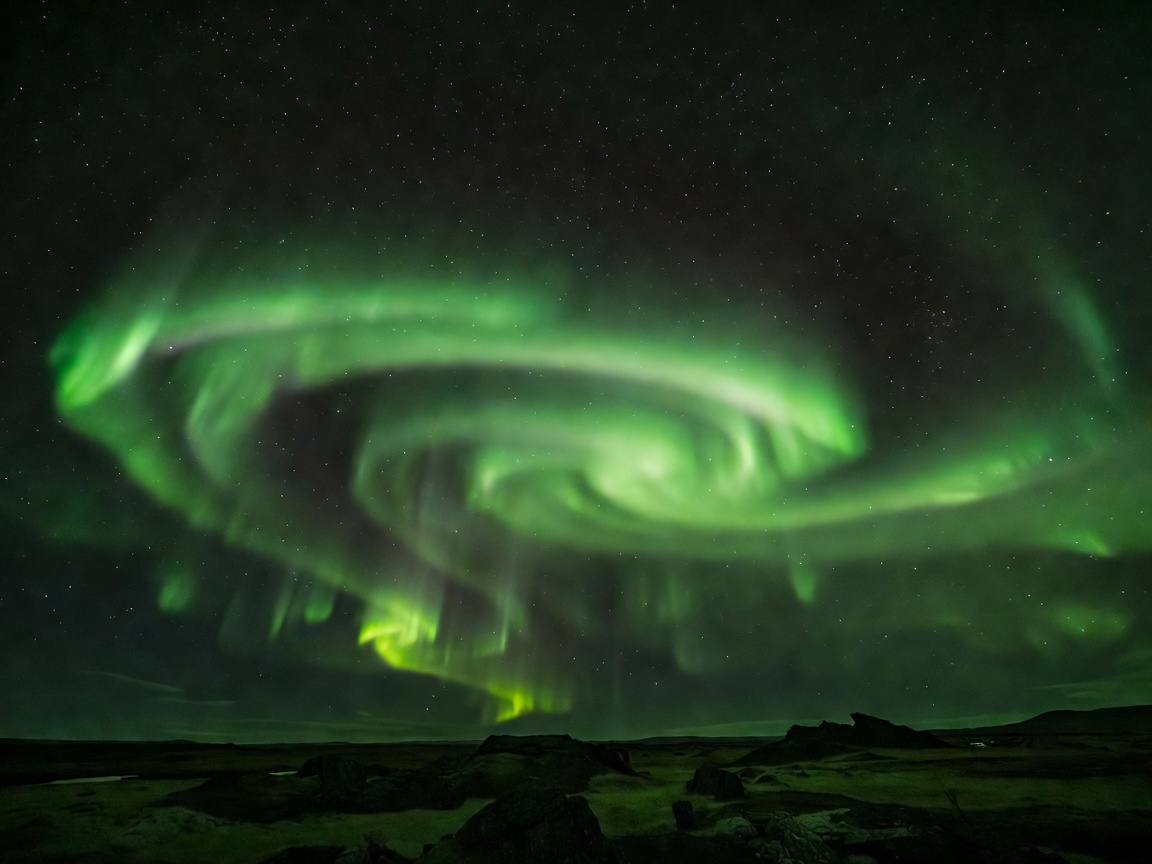 Night Optics
Decoding solar wind plasma speeds, Vedur low-altitude cloud models, and the 7 top unpolluted dark sky viewpoints across Westfjords and North Iceland.
Read Aurora Guide →Always log your independent travel plan with Safetravel.is before venturing onto unpaved highland tracks or glacier surfaces. Weather shifts can happen in under 15 minutes.