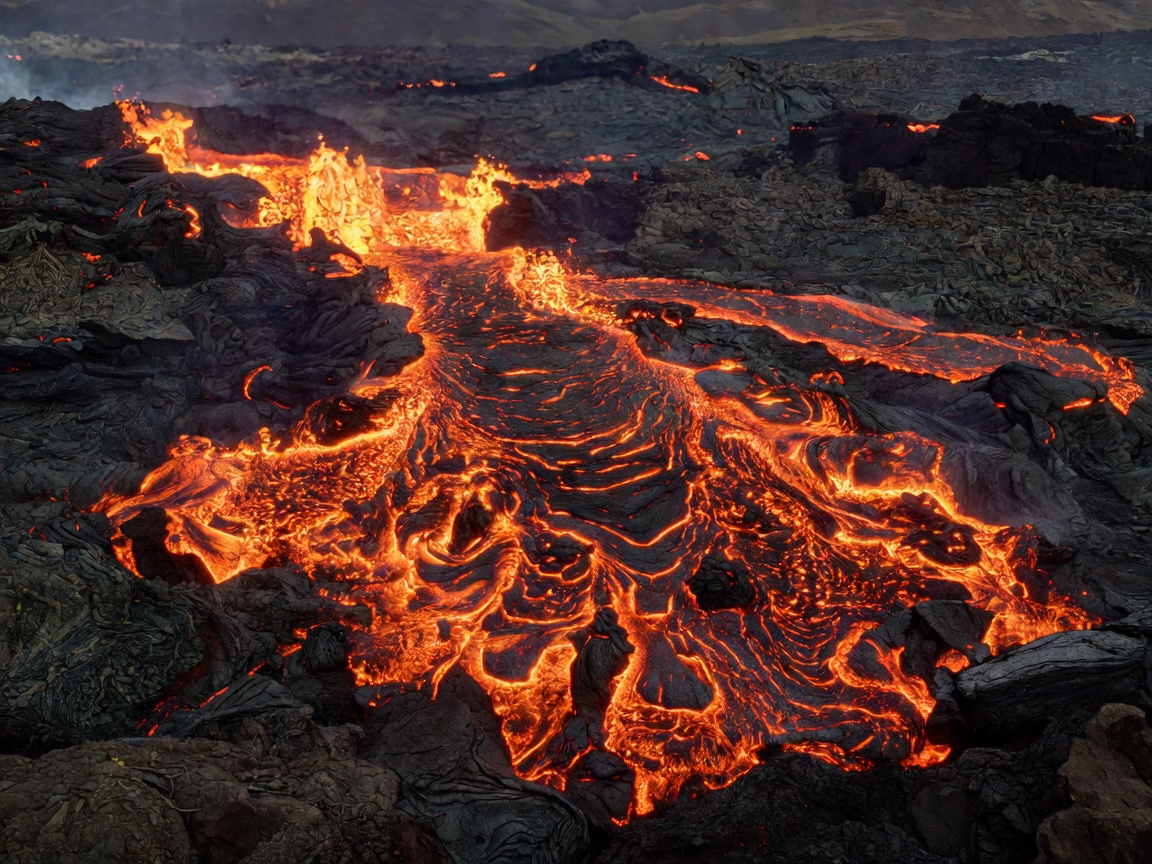
The Reykjanes Peninsula volcanic systems represent a prolonged multi-decade rifting episode along the Mid-Atlantic Ridge. Following eruptions at Geldingadalir (2021), Meradalir (2022), Litli-Hrútur (2023), and the Sundhnúkagígar series (2023–2026), navigating this active terrain requires strict preparation, real-time gas telemetry monitoring, and adherence to Civil Protection cordons.
Geological Overview & Terrain Topology
Unlike stratovolcanoes characterized by explosive plinian ash plumes, Reykjanes fissure eruptions are effusive basaltic shield eruptions. High-temperature tholeiitic basalt flows at temperatures exceeding 1,150°C. New lava crusts may appear solid but can retain molten pockets underneath for years. Walking on crust formed within the last five years is strictly prohibited due to roof collapse hazards.
Key Technical Parameters & Access Matrix
| Primary Access Route | Suðurstrandarvegur (Route 427) parking lot P1 & P2 |
|---|---|
| Hike Distance (Roundtrip) | 14 km to 20 km (depending on active eruption path) |
| Elevation Gain | Approx. 320 meters over uneven basalt & scree |
| Required Gear | Multi-gas detector (SO2 / CO), high-ankle boots, windproof shell |
| Official Hazard Status | Variable • Check Icelandic Met Office before departure |
Lethal Gas Hazards: Sulfur Dioxide (SO2) Protocol
Volcanic gas emissions are the primary invisible hazard. Sulfur dioxide (SO2) accumulates in low-lying hollows and valleys, especially in windless or overcast atmospheric inversion conditions.
- 0–0.5 ppm: Normal baseline levels.
- 1.0–2.0 ppm: Eye irritation and throat dryness begin.
- 5.0+ ppm: Dangerous to respiratory systems; immediate retreat upwind to elevated ridge crests is required.
Essential Packing & Navigation Gear
Do not attempt this hike in casual athletic shoes. The ground consists of abrasive a'a lava and loose tephra that will tear through lightweight fabrics. We recommend:
- Stiff mountaineering boots with Vibram outsoles.
- Garmin inReach or satellite communicator with preloaded GPX track.
- Headlamp with minimum 400 lumens and spare lithium batteries.
- 3 liters of fresh water (no potable water sources exist along the ridge).