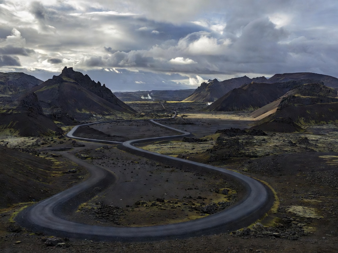
Iceland's Route 1 (Þjóðvegur 1) links coastal towns, glacier outwash plains (sandurs), and volcanic deserts into a continuous loop around the island. While standard passenger vehicles can navigate the highway during summer, sudden wind squalls exceeding 35 m/s near Mount Esja and Öræfi demand tactical pacing.
Key Tactical Stages of the Circuit
Days 1–3: The Dynamic South Coast (Reykjavík to Skaftafell)
Traversing Seljalandsfoss, Skógafoss, and the Reynisfjara basalt columns. Critical hazard note: Never turn your back on the Atlantic sneaker waves at Reynisfjara. Continue east over Skeiðarársandur across single-lane wooden bridges to Skaftafell glacier tongues.
Days 4–5: Glacial Lagoons & Eastfjords (Jökulsárlón to Seyðisfjörður)
Marvel at 1,000-year-old icebergs drifting through Jökulsárlón to the black sand of Diamond Beach. Navigate narrow coastal passes through Berufjörður and Fáskrúðsfjörður with steep scree slopes.
Days 6–7: The North Geothermal Rift (Mývatn & Hverir)
Explore boiling mud pots at Námafjall, Grjótagjá subterranean rift, and the cascading power of Dettifoss (Europe's most powerful waterfall by volume). Fuel up in Akureyri before western passes.
Days 8–10: The Troll Peninsula & Borgarfjörður
Pass through Siglufjörður fishing tunnels, Grábrók volcanic crater, and Deildartunguhver (Europe’s highest-flow thermal spring) before concluding the circuit in Reykjavík.
Single-Lane Bridge Etiquette & Wind Limits
Route 1 contains dozens of historical single-lane bridges. The vehicle closest to the bridge entrance maintains legal right-of-way. Reduce speed to 30 km/h prior to timber planks to prevent suspension damage.
Check real-time bridge webcam feeds and surface temperatures on the official Icelandic Road and Coastal Administration site at Road.is (Vegagerðin).